On Tuesday and Wednesday 19-20 April 2005, I took two road trips
to Mt. Wilson. Take a look at this
map to get an idea of where it's located
(the dashed red line - - - - shows the car route
I took):
2005-04-19:
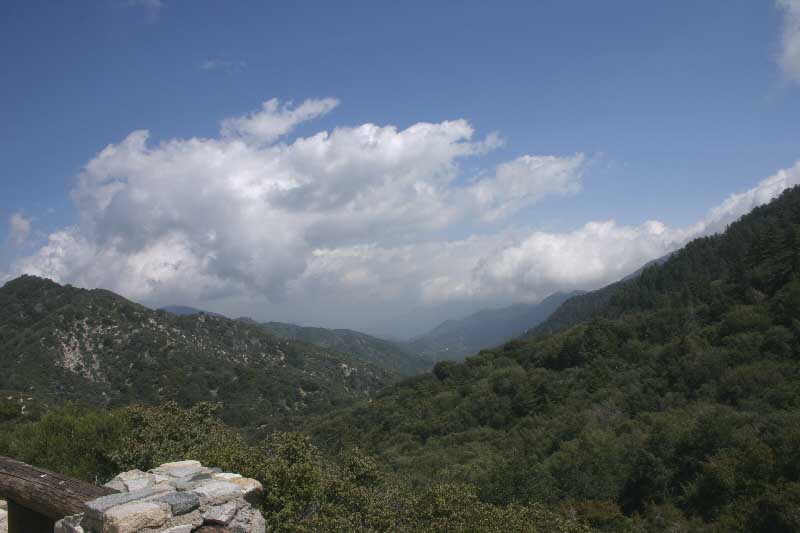
4600-ft. Facing East
at Red Box/Mt. Wilson Road Forest Ranger Station. Looking into West Fork
San Gabriel River valley.
|
| 
2005-04-19: 4600-ft. At Red Box/Mt. Wilson Road Forest Ranger Station.
This image taken from same area as above except a few steps back into
the parking lot.
|
|
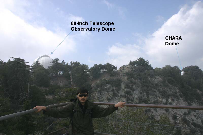
2005-04-20: ~5700-ft at Mt. Wilson: Facing NW toward 100-inch Telescope
and one of the six 'scopes of the CHARA
array. CHARA is an acronym for
"Center for High Angular Resolution Astronomy".
|

2005-04-20:
~5700-ft at Mt. Wilson: Facing South-East: If it wasn't for the clouds
and smog, the cityscape below would be much clearer. Click
here to see how much more visible it can be on clearer days.
|

2005-04-20:
Mt Wilson: Facing south from Vista Point on Rim Trail.
|

2005-04-20:
Heading back home on Angeles Crest Highway. This is a valley; elevation
here is 4000 ft. The haze in the background is fog (clouds). |
|
|
