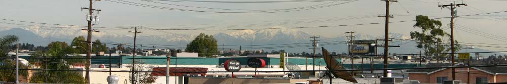
(above) January 16, 2005: View from Gardena home. Notice the increase in snow cover, when compared to the late-November 2004 image below. This was the result of unusually high precipitation this are received during December and early January.
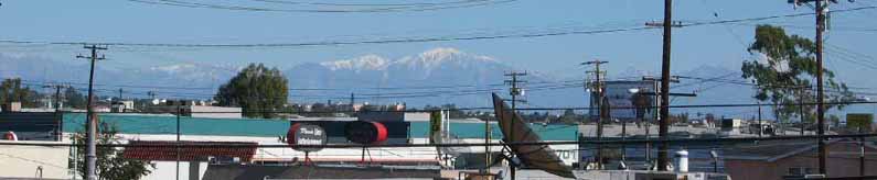
(above) November 28, 2004: The highest (10,064-feet), snow-covered peak is Mount San Antonio (aka Mt. "Baldy"), roughly 48 miles towards the North-East, and visible from the balcony of my (Khurram's) home (also home of the Calorie Restriction Society) in Gardena, California. Warren and I live on the second-story condominium unit and have a fairly good view of the mountains surrounding Los Angeles -- from the western edge of the San Bernardino Forest (as above) to the Santa Monica range (below: Topanga State Park is to the left of the billboard on the left half of the picture):
(above) 2005-01-16: View from the corner of Sepulveda and Rosecrans in Manhattan Beach, California. Visibility was excellent, allowing one to see Mount San Gorgonio (snow-covered mountain on the far right) roughly 93 miles away.. The mountain on the far left is Cucamonga Peak, in western San Bernardino county.
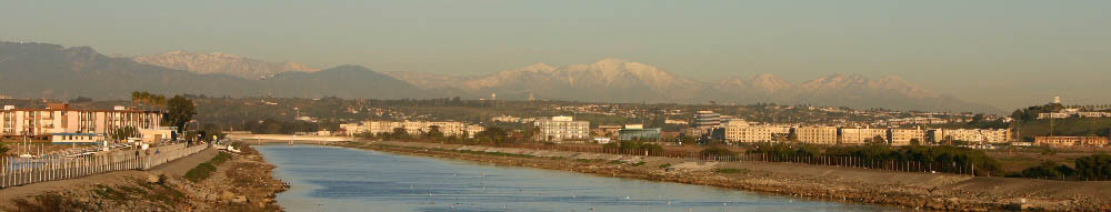
(above) 2005-01-16: View from Ballona Creek bridge. Cucamonga Peak is on the right; San Antonio is the tallest peak, Mt. Wilson is the snowless peak on the far left (the dark, snowless mountains are much closer than the snow-covered mountains). The Pacific Ocean is directly behind me, only a few hundred meters away; this creek empties into the ocean. Also notice the bike trail (built on top of leavee) on the far left. This area is roughly located on the border of Playa del Rey and Marina del Rey, CA.