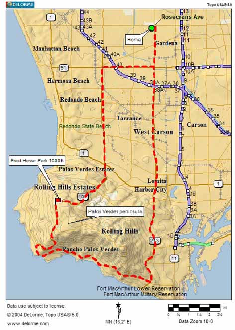
above: - - - - Route map of the 37 mile bike trip. The heavy touring bike I use was pushed -- not pedaled -- up the 3-mile, gentle-grade ascent which reached a height of roughly 1000 feet. (enlarge map)
On Tuesday 29 March 2005, I took a bike trip through the Palos Verdes peninsula, with a photo-taking stop at Fred Hesse park. This map traces my route:

above: - - - - Route
map of the 37 mile bike trip. The heavy touring bike I use was pushed -- not
pedaled -- up the 3-mile, gentle-grade ascent which reached a height of roughly 1000 feet. (enlarge
map)
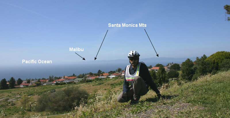
From Fred Hesse Community Park I photographed the following scenes:
 2005-03-29: Elevation ~1000 ft; facing North-West; 18mm lens view. It was very windy and cold (around 45-deg F with wind chill taken in to account) at this elevation today. The temperature was significantly milder 500 ft. below. See map above to get an idea of where this photo was taken. Click here to see Palos Verdes from Malibu or click here to see Palos Verdes from Topanga Park in the Santa Monica mountains. A time-lapse video I shot from the same location as above photo: |
 Above: Looking South from same location as above. Catalina Island can seen in the background thru the haze of the marine layer. date 2005-03-29 |
|
Above: Looking East again: More houses at 1000 ft (and above) near the park. date 2005-03-29 More about this park from palosverdes.com: "As you traverse the many acres of the varied terrain and hike the trails of the newly developed lower area, look closely and discover the ever-repeating patterns of nature. Note the California poppies, lupine, scarlet flax, Pride of Madeira and lemon eucalyptus. Take time to gaze at the silent hawks and hummingbirds...." |
Technical: All images taken with Canon Digital Rebel 300 EOS camera. Focus: manual. All other parameters: manual (shutter 1/80; aperture: 20). LEGO panobot was used to secure the camera.