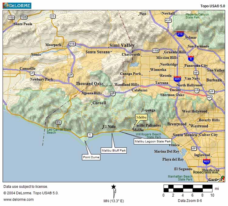
above: a map showing where Malibu Lagoon Sate Park is on the Southern California coastline. (enlarge map)
On Tuesday 15 March 2005, visibility improved substantially enough to justify a bike trip to the seaside village of Malibu. It was roughly a 30 mile bike ride from my residence in Gardena. Temperature was in the low 70s and winds were blowing from the ocean (west) roughly 10 mph. The total trip was 6 hours with total stoppage time ~ 1 hour for rest breaks and photographic sessions.

above: a map showing where Malibu Lagoon Sate Park is on the Southern California
coastline. (enlarge map)
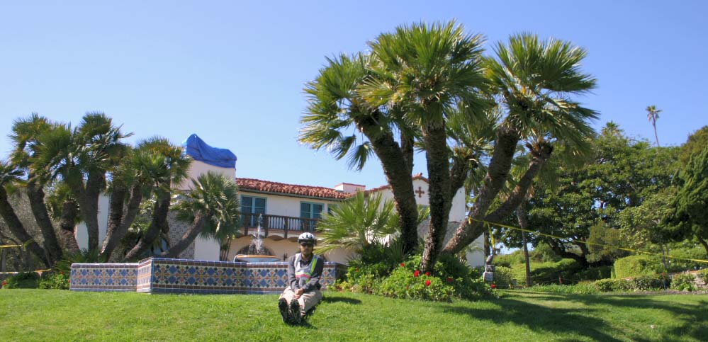
 Above: Facing north-west. At Malibu Lagoon State Park. The Adamson Museum is the building in the background. date 2005-03-15 An ariel view of this park may be seen here. The State of California government web page for this park is here. |

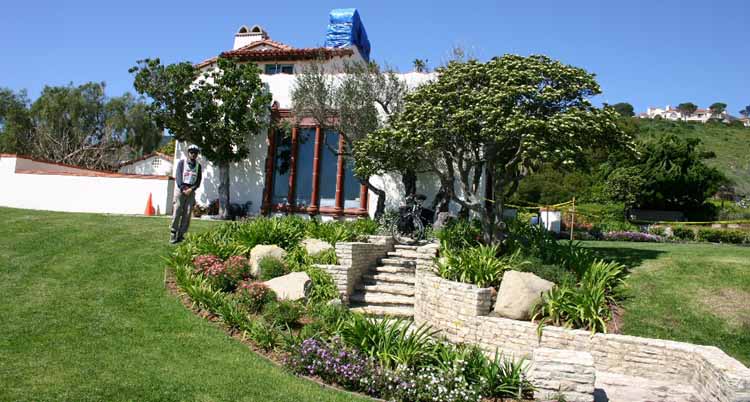
Above: Wide-angle view facing North. At Malibu Lagoon State Park; Adamson House is behind me. Bicycle is at the top of the steps. date 2005-03-15 |
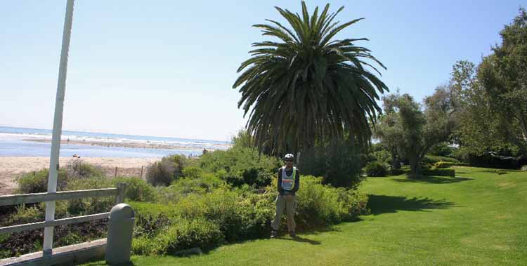
 Above: Wide-angle view facing North-west. At Malibu Lagoon State Park; Adamson House lawn. Beach and lagoon can be seen to the left of me. date 2005-03-15  In above image one can see , Palos Verdes peninsula, 50 miles to the South, visible from Malibu Lagoon State Park. date 2005-03-15 |
CLICK HERE for more views of the California coastline.
CLICK HERE for more information on this and other California State Parks.
Technical stuff: All images taken with Canon Digital Rebel 300 EOS camera. Focus: manual. All other parameters: Auto. Tripod was used.