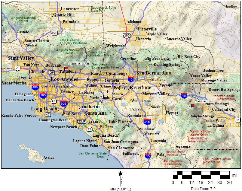
| Where is Mt. San Jacinto and the Palm
Springs Aerial Tramway? As
the bird flies, it lies roughly 90 miles South-East of Los Angeles or about
97 South-East miles from my home in Gardena. In the map below, look for
the red flag on right-hand side. click here to enlarge map |
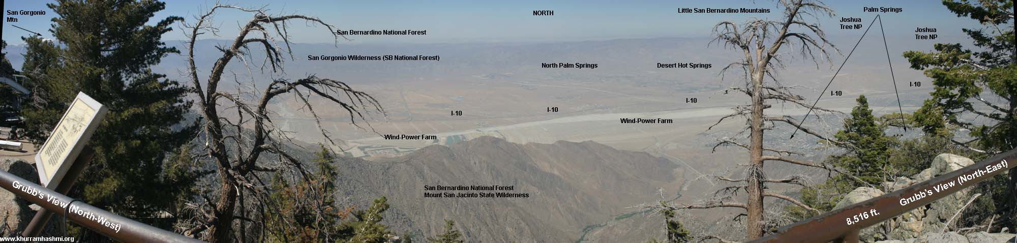
| Below: Panoramic view of the Coachella
Valley from Grubb's View, located at the Palm Springs Tramway Mountain
Station, at an elevation of 8,516 ft. There can be snow present at this
elevation, depending upon time of year. Today was quite warm, however,
and not windy -- not typical weather for
this location at this time of year. Some haze present also obscures
distant landmarks such as the Salton Sea and the Mojave Desert. Notice
the wind farm near the San Gorgonio Mountain Pass -- it contains more than
4,000 separate windmills and provides enough electricity to power Palm
Springs and the entire Coachella Valley. Also note San Gorgonio mountain
on the extreme left-hand side of the panorama. This is the highest mountain
in Southern California, roughly 11,500 ft. Even in So-Cal in late May weather,
many areas above 8,000 are snow-covered. date 2005-05-24 << Scroll this image left to right to see all >> |
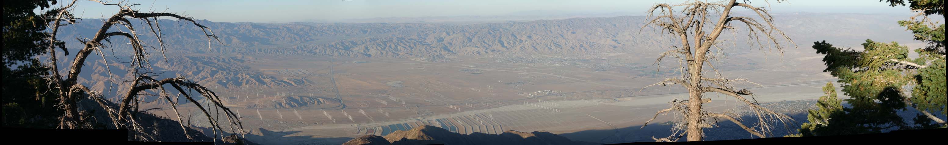
| below: Another panoramic view of the Coachella
Valley, this time from the restaurant terrace, about 20 feet below from
Grubb's View point (above). This terrace gives a slightly better view of
the Palm Springs area as well as Joshua Tree Nat. Park (here's
a shot of San Jacinto from Keys View in Joshua Tree NP). Also note a glimpse of the
docked tram car on the extreme left-hand side. date 2005-05-24 << Scroll this image left to right to see all >> |

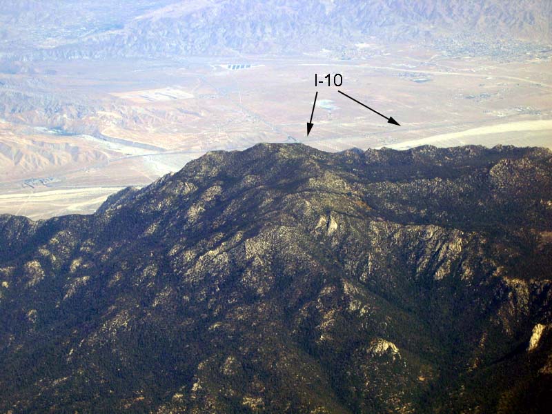
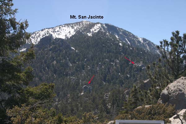
| below: Looking West at Mt. San Jacinto's peak, from the Grubb's View point. The peak, at 10,834 ft, is roughly 5 miles from this location. San Jacinto is quite a rocky and rugged mountain as may be noted by the large boulders (red arrows). date 2005-05-24 |

above: The sign, near a visitor/trail center at San Jacinto, says: "May the
Peace of the Wilderness Be With You" (date: 2005-10-02)
Technical: All images -- except second panorama -- photographed with a Canon Digital Rebel 300 EOS camera. Focus: manual. All other parameters: manual. A tripod was also used. Second panorama's images were taken handheld using a Canon A80 in full Auto mode. Panoramas created with Pano Tool Assembler. Final tweaking and editing done with Adobe Photoshop Elements 2.0.