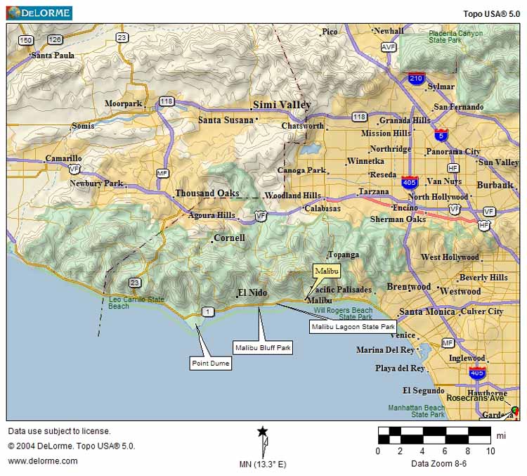
On Saturday 26 March 2005, I took another bike trip to Malibu. Malibu Bluffs State Park -- close to Malibu Canyon road and Pepperdine University -- was the final stop on this journey before returning home. Take a look at this map to get an idea of where it's located:
At the park -- also home to the Michael Landon Community Center -- I photographed the following scenes.
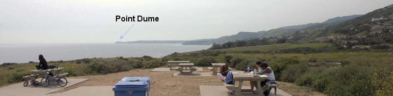 2005-03-26: 18 mm wide-angle view, looking west towards Point Dume (see map above for location). A mostly-cloudy -- but otherwise beautiful -- day at Malibu Bluffs State Park. Here is an ariel view of the park. Below are some videos I shot of a hikes through Malibu Bluff park... In this segment, I am following Alison and my sister, Faryal, as we head West toward the bluffs... ...and here we arrive, a few seconds later, at the seaside bluffs... Next to the cliffs, there's a lot of greenery and flowers, especially in the Spring. Let's take an April-day walk... |
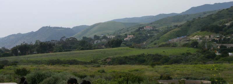
above: 2005-03-26: 55 mm view facing north-west. Houses built on the slopes of the Santa Monica Mountain "foothills" near Malibu Bluffs State Park. |
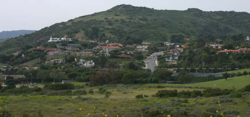
2005-03-26: 55 mm view facing north. Houses built on the slopes of the Santa Monica Mountain "foothills" near Malibu Bluffs State Park. |
CLICK HERE for more views of the California coastline.
CLICK HERE for more information on this and other California State Parks.
Technical info about images on this page: All images taken with Canon Digital Rebel 300 EOS camera. Focus: manual. All other parameters: manual. Tripod was used.