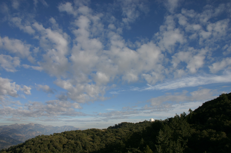
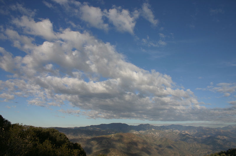
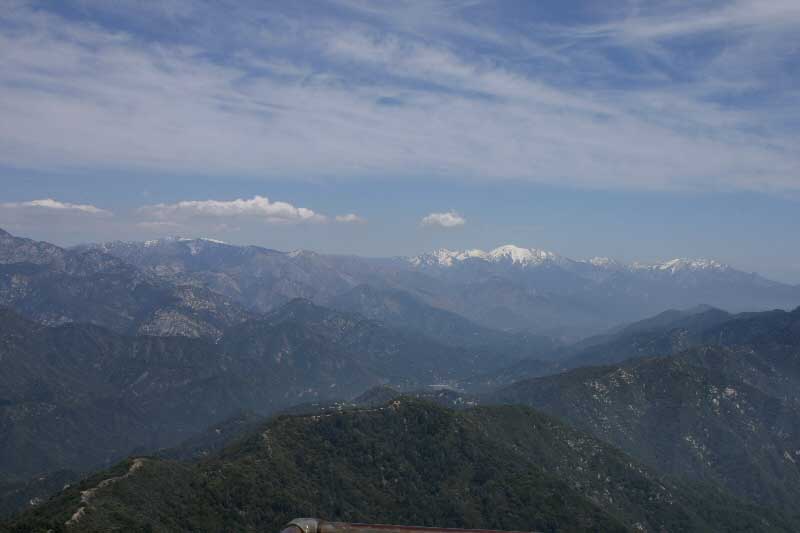
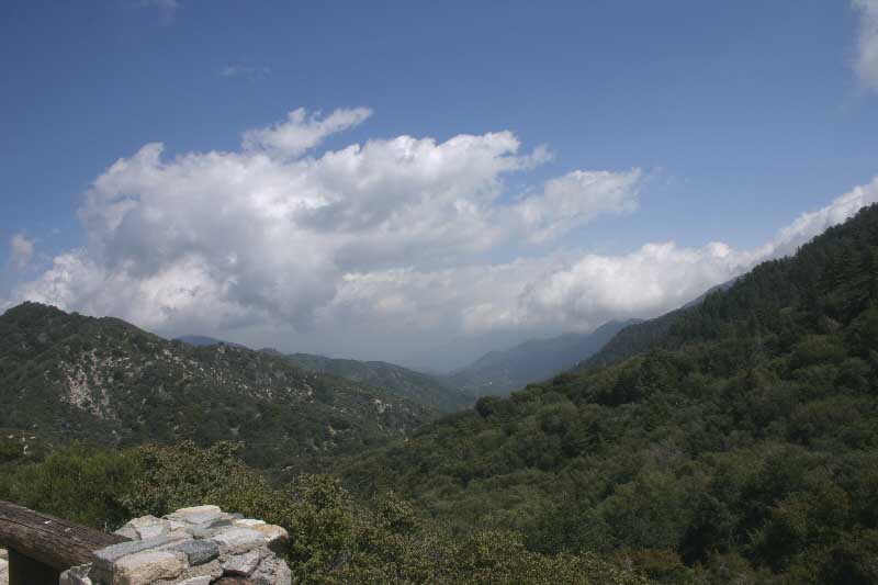
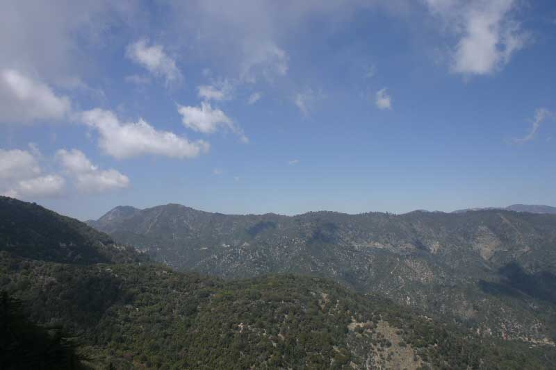

| 2005-12-11: Mt. Wilson, California, facing East towards the 100-inch Hooker telescope; wide-angle lens setting: ~28 mm: Note the high-altitude cirrus clouds are moving (roughly) North-East while the lower-altitude alto-cumulus clouds are (roughly) moving North-West (see below for a more detailed description of differential cloud vectors captured in time-lapse). Looking closely, you can also see the moon (left middle) which is slowly "rising" (actually, it not rising: the Earth's rotation simply cause it to appear that way). If you use the scroll bar in QuickTime to rapidly forward and reverse the clip, and keep your eye on the moon, you can see it move. |

|
| 2005-12-11: Mt. Wilson, California, facing North-East; wide-angle
lens setting: ~28 mm: Facing North-East towards Mt. Waterman, Twin
Peaks and Mt. Baden-Powell. |

|
| 2005-04-26: Mt. Wilson, California, facing East towards Mt. Baldy; wide-angle lens setting: ~28 mm: This time-lapse sequence was taken from Echo Rock. (video file not available) |
 |
2005-04-19:
Mt. Wilson, California, facing East at Red Box Ranger Station: ~28 mm:
This time-lapse sequence was taken from the Red Box Ranger Station parking
lot. Frame-rate: 24 fps. Now on YouTube.
|
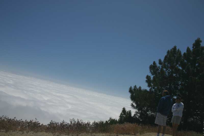
2005-04-19:
Mt. Wilson, California, facing North on Mt. Wilson road: ~28 mm:
this is a still-frame from a time-lapse sequence that was taken from Mt.
Wilson / Red Box Road. At this altitude, (~ 5,000 ft), one can be enveloped
among cumulus clouds (fog), as this sequence shows.
|
2005-06-05:
Mt. Wilson, California, facing South to South-West at summit parking
lot:
~28 mm: Fluid clouds above Los Angeles obscure view below approx.
4000 feet (compare to clear-day image below, taken from same location).
This a panned time-lapse and is comprised of 310 frames, captured
roughly every four (4) seconds. Frame-rate: 24 fps.
On YouTube.
 |
Differential cloud vectors captured in time-lapse
Once again, I contacted James Murakami of UCLA's Dept. Atmospheric Sciences. He provided an excellent, comprehensive description of the weather phenomena that produced the differential cloud vectors captured in the 2005-12-11 time-lapse above:
The cirrus streaming toward the northeast were blowing with the sub-tropical jetstream (axis crosses over northern Baja California). On that day, there was a lot more dense cirrus to the southeast of L.A. County.
The alto-cumulus moving toward the north-northwest (based on available weather balloon observations) developed due to lower atmospheric instability (not enough for rain though). The instability was aided by an upper level low pressure existing a few hundred miles southwest of Los Angeles and warming in the lower atmosphere (off-shore flow induced temperatures into the mid-70s in many areas that day)
Directional shear with height is actually a common occurrence over most of
the world. The vertical structure of most storms show a veering (clock-wise
change with increasing height) wind pattern.
During a rainstorm in the L.A. basin, the low clouds move from the southeast
or east. Higher up (if you could view them), clouds would move more from the
south or southwest (even west in some cases).
If you view multi-layer clouds, more often than not, you can discern some vertical shear (harder to gauge in summer due to usually weak wind speeds). However, the directional change may not always be as obvious as [in] your example.
California still images and panoramas
Nature Photography: Tips, Techniques and Examples
Astrophotography: Film vs. Digital
Ohio still images and panoramas